Welcome to Freeland
CLICK FOR 2021 CENSUS DATAIntroduction
Freeland is a small, rural village about 5 miles east of Witney in West Oxfordshire, and 9 miles northwest of Oxford. Its name is derived from the old English word 'fyrth' or 'frith', meaning 'wood', and a small woodland called Thrift Wood - which is filled with an abundance of bluebells every spring - is a triangular coppice located down a bridlepath from The Green. The main road running through Freeland - Wroslyn Road - is named from the 'Wrostling House', a 19th-century meeting place for professional fighters which no longer exists.
Parish Information
Parish statistics
Area |
424 hectares |
|---|---|
Population |
1,520 (2021) |
Density |
358 people/km2 |
Mean age |
45.6 |
Ward |
Freeland and Hanborough |
District |
West Oxfordshire |
Postcodes |
OX29 |
ONS ID |
E04008289 |
Council
Contact details for Freeland Parish Council, including current councillors, precept data and election results.
Education
View educational establishments in Freeland Parish. Data includes OFSTED rating and current appointed governors.
Business
Business directory listing local businesses operating within Freeland Parish.
Planning
View recent planning applications submitted for Freeland Parish.
Property
Price paid data for all property sold in Freeland Parish since 2018. Includes average prices for each property type.
Heritage
Local heritage sites, historic churches, heritage pubs plus local heritage initiatives for Freeland Parish.
Local News

Hosted and licensed by Oxford Mail
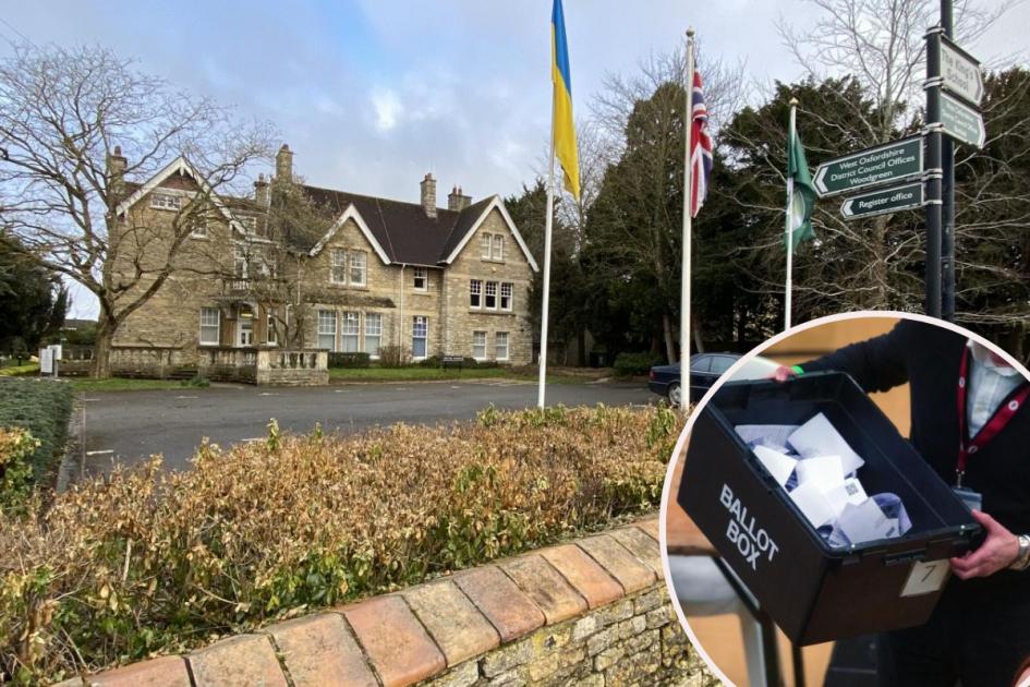
West Oxfordshire local elections: Results in full
Published: 3rd May 2024
Hosted and licensed by BBC
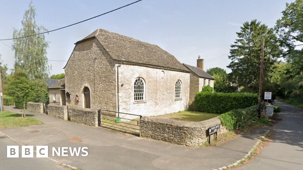
Freeland: Home plan for unused listed Methodist chapel rejected
Published: 26th Apr 2024
Hosted and licensed by Oxford Mail
Full list of May election candidates for West Oxfordshire
Published: 25th Apr 2024